|
Other Archaeological Sites / The Neolithic of the Levant (500 Page Book Online) The Faiyum Depression in Egypt
Read: *** Fayum *** in the Ancient History Encyclopedia
Read: *** Feiyoom *** from Page 503 of the Eighth Edition of the Encyclopaedia Britannica (1855)
 "Fayum" comes from the Greek phiom meaning "lake" -- the token of its past. Pronounced "fei-'yoom" and spelled variously over time (Fayum, Faiyűm, Fayum, Fayyum, Feiyum), the Fayum once cradled Egypt's largest cultivated area. The ancient lake “phiom” refers to is “Moeris” which once nurtured an amazing variety of life. Life with Moeris For thousands of years Lake Moeris and its prehistoric predecessors dominated the 12,000 square kilometers of the desert-bound Fayum depression. Life took sustenance from Moeris and the lush environs it enabled, the waters of the Moeris sustaining a seasonal rhythm to life forms of all sorts. The earliest humans in the recorded history of the Fayum basin based their existence, their agricultural, commercial, cultural and religious practices on the cyclical growing seasons enabled by the waters of Moeris. With vital and continuous sustenance from the waters and soils of the Nile Valley this oasis became a huge and thriving nugget of life in the sand. The prehistoric Fayum lakes existed in stages that take the names of “Moeris”. These successions are marked by distinguishable fluctuations in volumes of water and shoreline occupied. Natural changes in the lake levels were caused by evaporation and replenishment by seasonal flooding in the Nile valley. But other natural events caused dramatic non-seasonal fluctuations as well such as shifts in the carving rivers of the Nile valley and earthquakes.
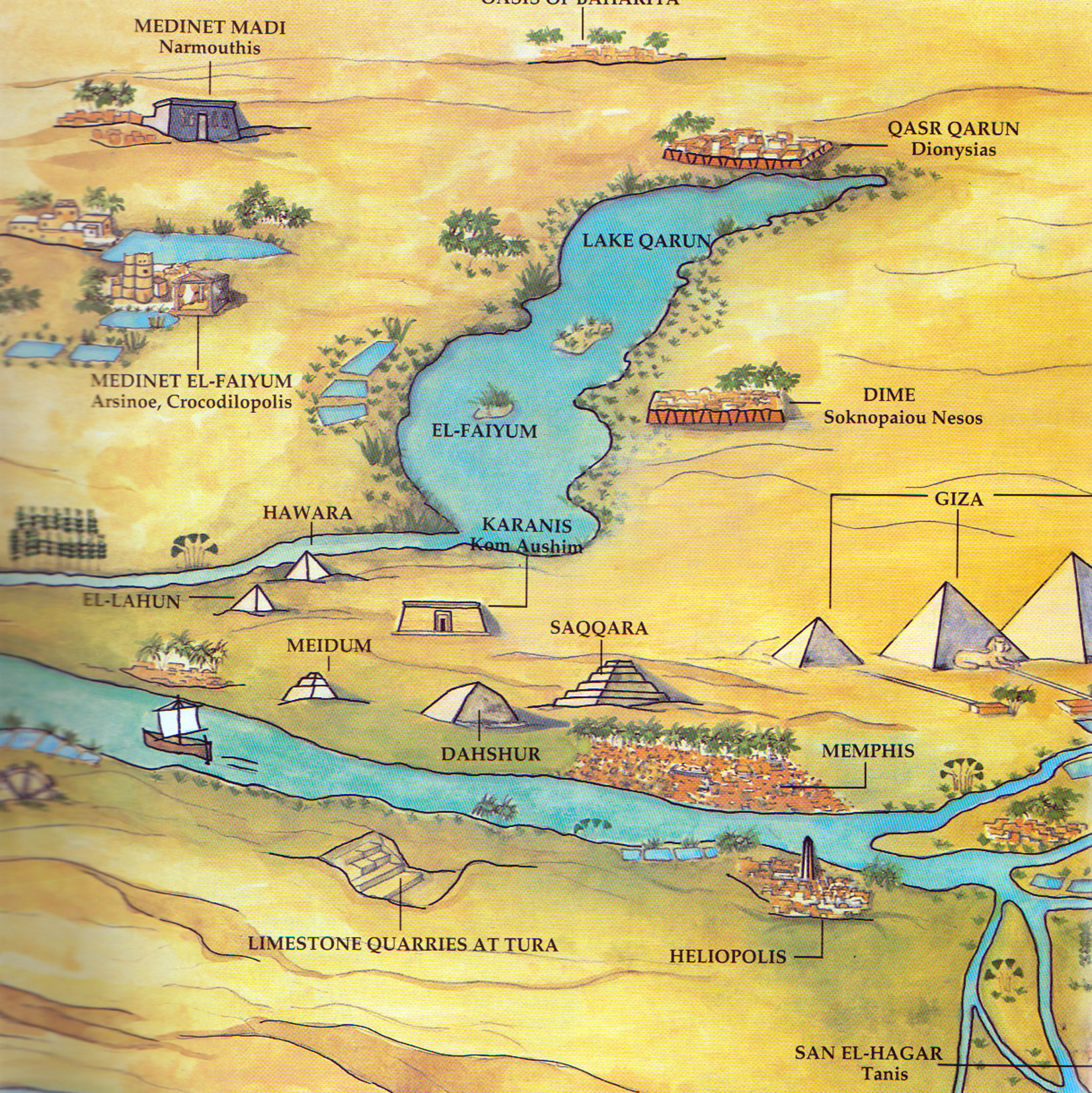 The Fayum area with Lake Moeris in the centre, fed by a side stream of the Nile coming in from the left which was channelled off in order to increase the cultivated area. The pyramids at Meidum and Hawara were based near the new areas of cultivation ...
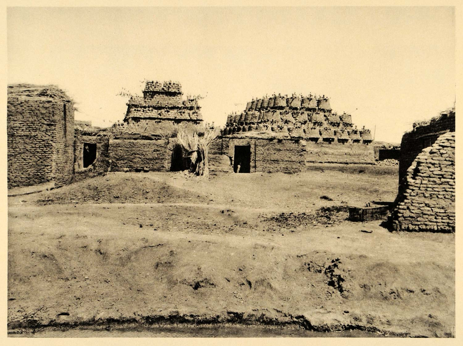
(1) Notes From Diary: Fayum Trip 1907 (based on the expedition diary and photographs of Walter Granger) by Vincent Morgan and Spencer Lewis (2002) Updated August 2nd 2020
|