|
Other Archaeological Sites / The Neolithic of the Levant (500 Page Book Online) Neolithic and Classical Qalat Mudiq and Apamea in North West Syria
APAMEA (Qalaat al-Mudik) Syria in the Princeton Encyclopedia of Classical Sites (1976) at the Persus Digital Library (Tufts University)
APAMEIA (Kŭlat el-Mudîk) in the Dictionary of Greek and Roman Geography (1854) at the Persus Digital Library (Tufts University) Selected Excerpt on Qalat Mudiq
Chapter 5: Neolithic 3 Qalat Mudiq (Page 306)
The Neolithic of the Levant (1978) by A.M.T. Moore (Oxford University)
Numerous flint tools and scraps of obsidian have been found on the lower slopes of the
Before it became the major Hellenistic city of Apamea this was a small town known as Pharmake. It is thought to be identical with the biblical (Hebrew שְׁפָם) Shepham (Numbers 34: 10-11), a place mentioned only in the specification by Moses of the eastern boundary of the Promised Land.
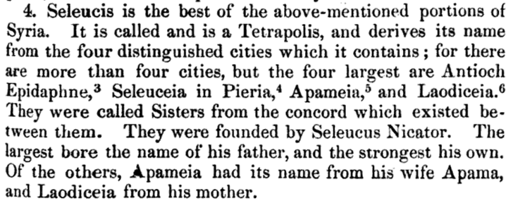
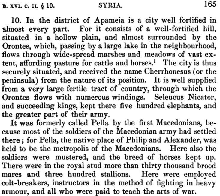
After the conquest of the region by Alexander the Great and the subsequent wars between his generals, Apamea fell under the command of the former Macedonian general Seleucus Nicator from about 312 BC. About 300 BC Apamea was fortified and established as a city by Seleucus who named it after his Bactrian wife Apama. The site was enclosed in a loop of the Orontes River which, with the lake and marshes, gave it a peninsular form whence its other name of Cherronęsos. It was located at a strategic crossroads for Eastern commerce and became one of the four cities of the Syrian Tetrapolis. In pursuance of his policy of Hellenizing Syria it bore the Macedonian name of Pella.
When the city was annexed to the Roman Republic Pompey in 64 BC marched south from his winter quarters ... "he brought his army out of their winter quarters and marched into the country of Damascus; and as he went along he demolished the citadel that was at Apamia" (Antiquities of the Jews by Flavius Josephus xiv 3 § 2). It was in the Roman period that much of what remains today was built. As an Eastern crossroads Apamea received many distinguished visitors including Cleopatra -- Septimus Severus and the Emperor Caracalla.
On the outbreak of the Jewish Revolt in the 1st century AD the inhabitants of Apamea spared the Jews who lived in their midst and would not allow them them to be murdered or led into captivity (The Wars of the Jews by Flavius Josephus 2.18.5).
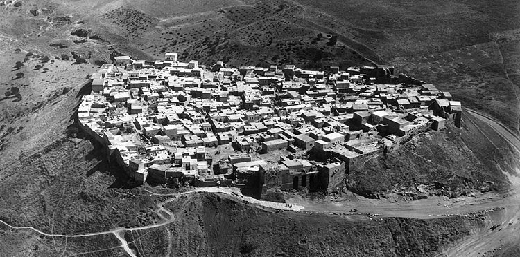
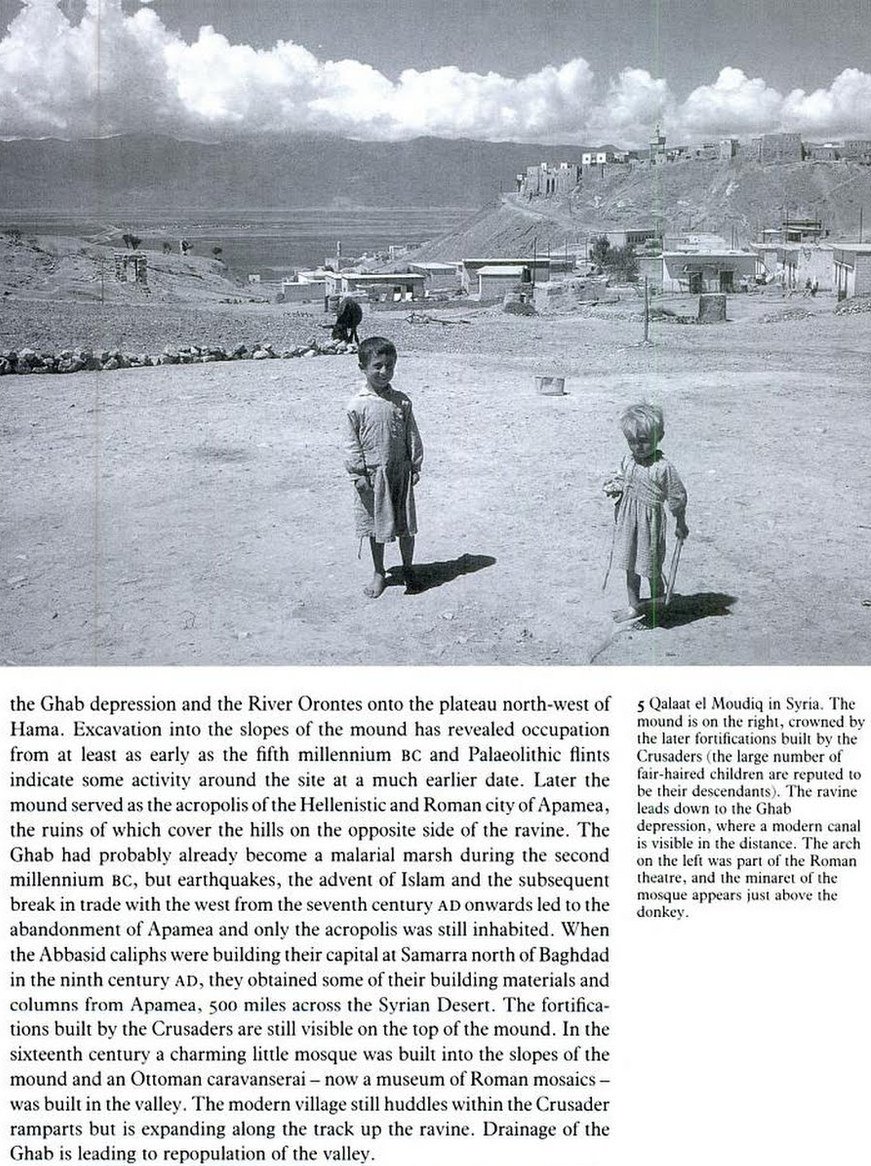
The fortress and what is central to the modern town Qalat al-Madiq is located west of the ruins of Apamea. Most of what remains is a 12th century Arab fort built by the Muslim Nur Ad-Din (1146-1174). Currently the area of the town has expanded significantly and occupies the hillside areas west and south of the citadel. The citadel of Qalat al-Mudiq was originally the acropolis of the ancient city but it was destroyed by the Romans in 64 BC. Hellenistic stones are only visible on some of the lower levels.
Palestine and Syria : handbook for travellers by Karl Baedeker (Publisher) 1894
Palestine and Syria with the chief routes through Mesopotamia and Babylonia;
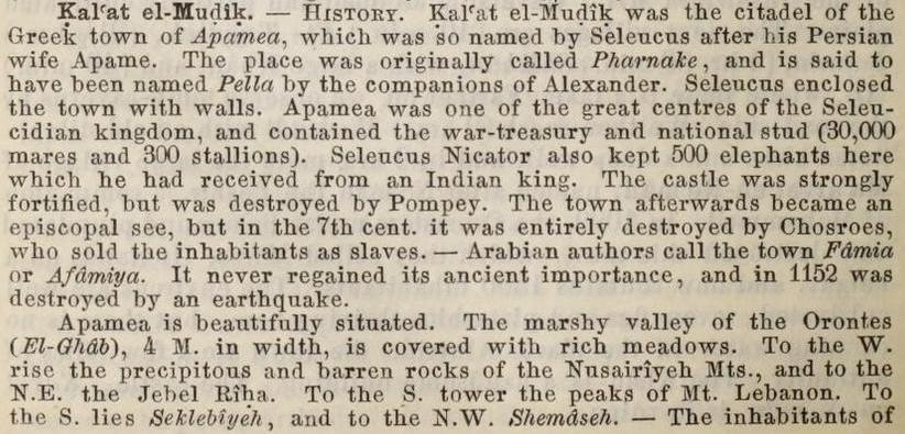
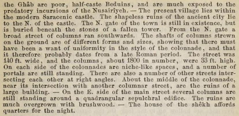
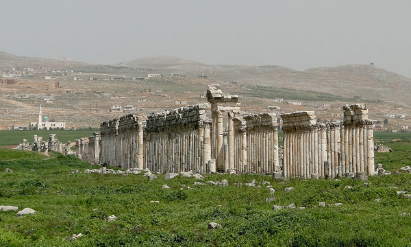
Kal'at el-Mudik: (accommodation at the house of the Sheikh) a village prettily situated in the marshy valley of the Orontes which is here 4M in width and is covered with rich meadows. The inhabitants are poor half-caste Beduins who are much exposed to the predatory incursions of the Nosairiyeh. Kal'at el-Mudik occupies the site of the citadel of the Greek town of Apamea which was so named by Seleucus after his Persian wife Apame. The place was originally called Pharnake and is said to have been named Pella by the companions of Alexander. Apamea was one of the great centres of the Seleucidian kingdom and contained the war-treasury and national stud (30,000 mares and 300 stallions). The castle was destroyed by Pompey. The town afterwards became an episcopal see but in the 7th century it was burned to the ground by Chosroes II. Arabian authors call the town Famia or Afamiya. In 1152 it was destroyed by an earthquake. — The present village lies within the Arabian castle. The shapeless ruins of the ancient city lie to the North of the castle. From the North gate of the town a Street of Columns 138 feet wide ran towards the South --- consisting of 1800 columns 30 feet in height. The shafts of the columns are of different forms and sizes. On each side of the colonnades are niche-like spaces and a number of portals are still standing. About the middle of the colonnade, near its intersection with another columnar street, are the ruins of a large building.
Pages 619-20 in A handbook for travellers in Syria and Palestine
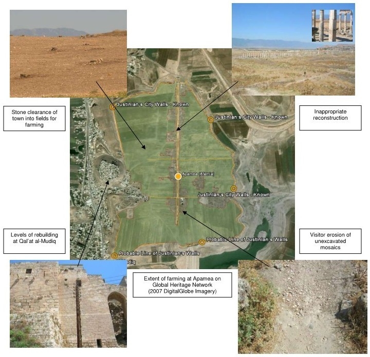
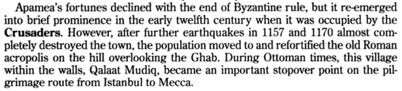
Page 13 in Syria: Past, Present and Preservation by Emma Cunliffe at Durham University and the Global Heritage Fund (August 2011)
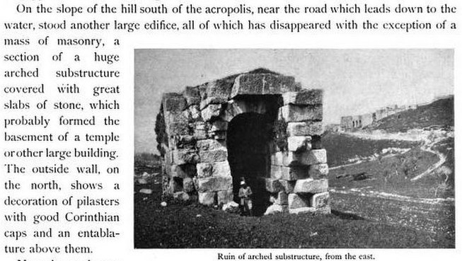
Page 52 in Architecture and Other Arts --- Volume 2 by Howard Crosby Butler (1902)
Page 199 in Semitic inscriptions by Enno Littmann (1904)
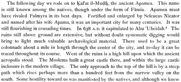
Page 55 in Topography and Itinerary --- Volume 1 by Robert Garrett (1914)
Qalaat al-Madiq and Apamea in WikiPedia
|